Population of Halifax peninsula

Historical population of Halifax peninsula (1901 – 2021)
This graph tracks the population of the Halifax peninsula.
Methodology
Population figures for 1901, 1911, 1921, and 1931 are for the City of Halifax, which was limited in extent to the Halifax peninsula at that time. Census tracts (CTs) were introduced for the 1941 census. The population figures shown for the 1941-1966 censuses include the former Halifax census tracts 1 through 17.
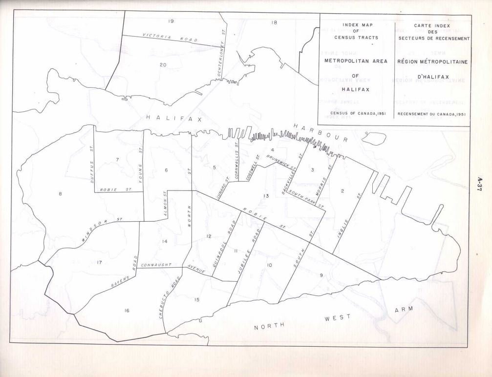
First generation Halifax census tracts. (Map: Census of Canada, 1951)
For the 1971 census, the CTs in the Halifax area were renumbered. Figures for 1971, 1976, and 1981 include the renumbered CTs 3, 4, 5, 6, 7, 8, 9, 10, 11, 12, 13, 18, 19, 20, 21, 22, and 23. After the 1981 census, census tract 4 was split in two (4.01, 4.02).
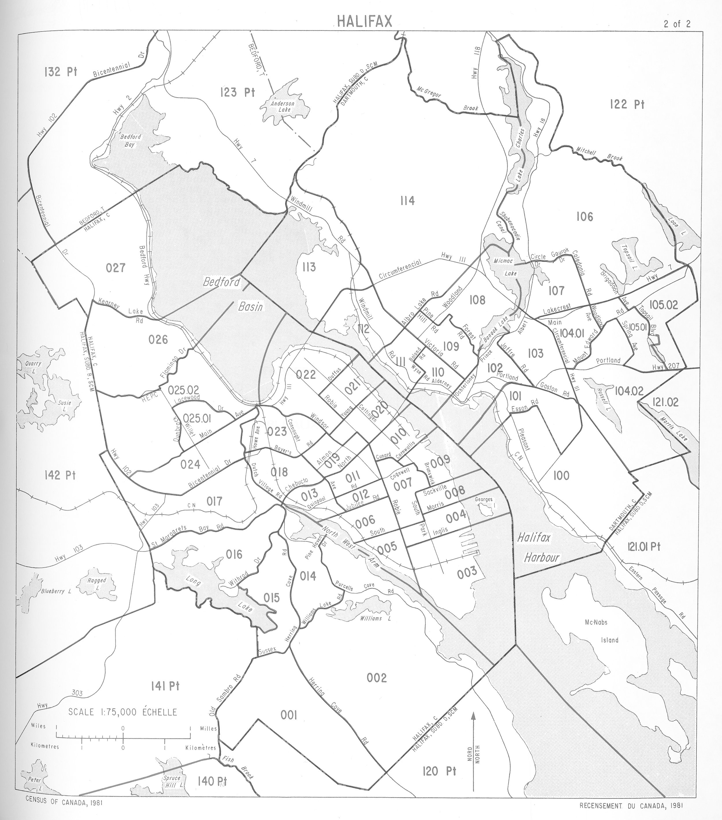
Newly renumbered census tracts introduced for the 1971 Canadian census. (Map source: Census of Canada, 1981)
Background

Extent of urbanisation just prior to the 1917 Halifax Explosion. (Nova Scotia Archives Map Collection: V5 1: 31 680. 133a)
A large proportion of the city was destroyed by the 1917 Halifax Explosion. The city suffered from economic stagnation during the 1920s and 1930s. During this period, housing construction was mostly limited to single-family homes "confined to a relatively small area in the western portion of the peninsula" (White, 1992, p. 121).
The outbreak of World War II sparked a dramatic increase in Halifax’s population as the city became a staging ground for allied naval convoys, aided by the completion of major improvements to port and rail infrastructure. This coupled with the dearth of housing construction in the Interwar period contributed to an acute housing shortage that lasted beyond the end of the war.
Federal government-led housing projects contributed to the building-out of the peninsula. Wartime Housing Limited (WHL) built more than a thousand bungalows during the war (White, 1991). WHL’s successor, the Canada Mortgage and Housing Corporation, developed the Westmount Subdivision on federal property in the late 1940s, filling out a substantial portion of the West End with suburban-style homes.
In the post-war years, road infrastructure projects facilitated suburban (off-peninsular) development. The 1955 opening of the Angus L. Macdonald Bridge allowed for easy car travel between Halifax and Dartmouth, while the region’s first expressway, Bicentennial Drive, opened in 1958. The City of Halifax expanded beyond the peninsula in 1969 when several suburban areas were amalgamated into the municipality.
References
White, J. (1991). Halifax, Nova Scotia in World War II: An Allied Staging Area. https://hmhps.ca/pdf/Halifax-Nova-Scotia-in-World-War-II-An-Allied-Staging-Area.pdf
White, J. (1992). The Homes Front: The Accommodation Crisis in Halifax, 1941-1951. Urban History Review, 20(3), 117–127. https://doi.org/10.7202/1019268ar