Hong Kong rail atlas

The Hong Kong rail atlas project aims to illustrate the footprint and features of the Mass Transit Railway (MTR).
Although the stations and alignment of the MTR system are visible on popular online mapping services such as Google Maps and Centamap, the alignment of the railway lines and depiction of the stations is imprecise and incomplete. The extent of the underground structures is not shown. Nor are the locations of utility buildings supporting the operation of the system, such as ventilation structures and electrical substations.
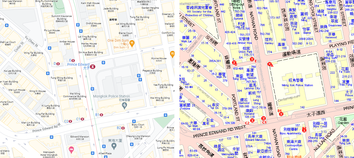
The same MTR station depicted on Google Maps (left) and Centamap (right).
The Hong Kong rail atlas will illustrate the relationship between the substantial underground world of the MTR and the streets and buildings above. In depicting and describing railway utilities and facilities, the atlas will also provide a more complete picture of the functional aspect of the system.
The MTR is operated by a private corporation, and detailed information about the system’s design is not a matter of public record. The rail atlas is therefore being constructed by combining information from a variety of public sources only. The data may be inaccurate or not up-to-date, and will be presented for transit enthusiasts' interest only.